-
Type - map
-
Map
-
Title - caption or label given by the creator
-
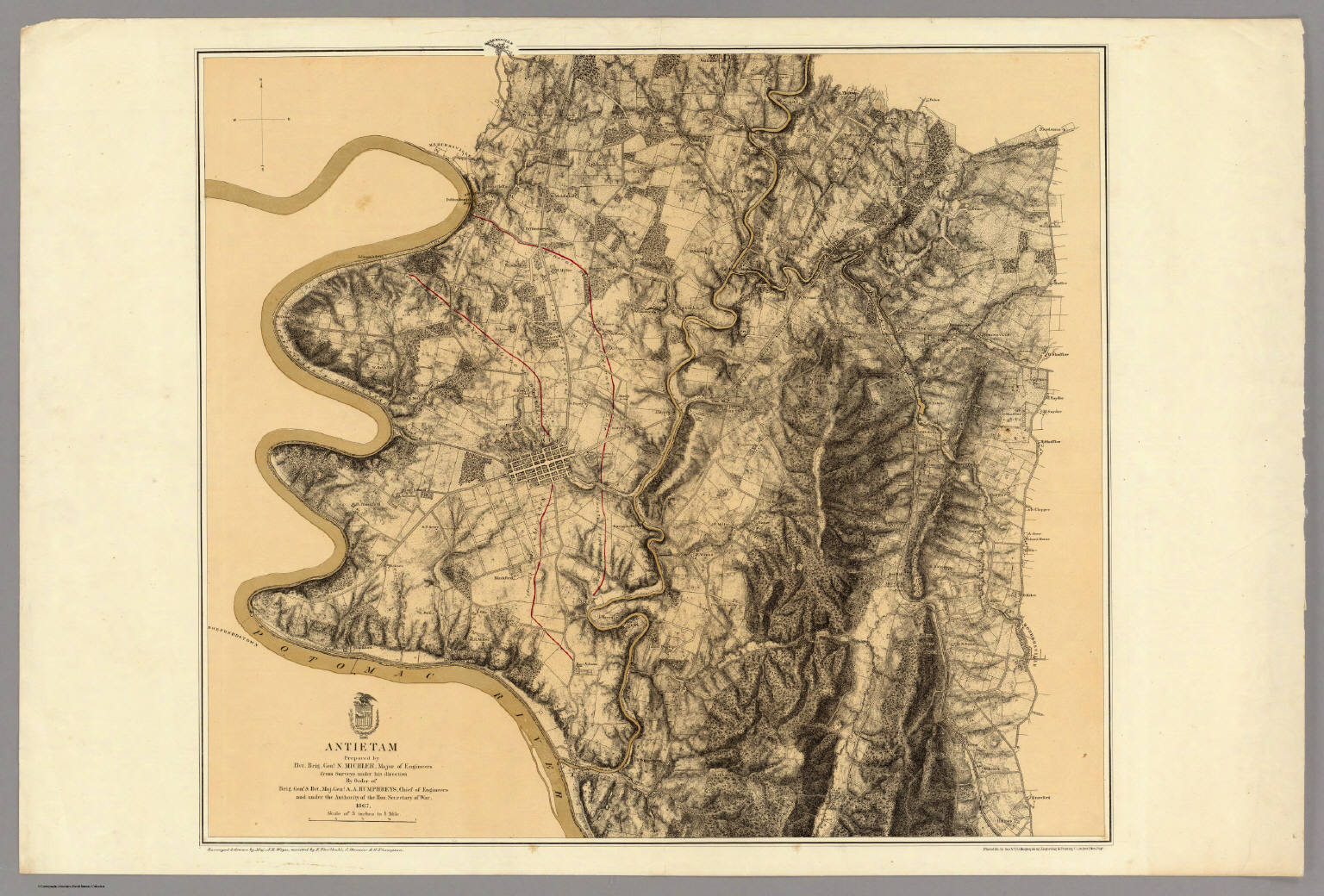
Antietam. Prepared by Bvt. Brig. Gen N. Michler, Major of Engineers from Surveys under his direction by order of Brig. Genl. & Bvt. Maj. Genl. A.A. Humphreys, Chief of Engineers and under the Authority of the Hon. Secretary of War. 1867. Surveyed & drawn by Maj. J.E. Weyss, assisted by F. Theilkuhl, J. Strasser & G. Thompson. Photolith. by the N.Y. Lithographing, Engraving & Printing Co., Julius Bien, Supt. (under War Department Seal) 1869.
-
Creator - cartographer/artist
-
U.S. War Department; Weyss, John E.; Bien, Julius; Strasser, J.; Theilkuhl, F.; Thompson, Gilbert
-
Date Created
-
1869
-
Spatial Coverage - the place depicted (geographical location)
-
Maryland, Sharpsburg, Washington County
-
Publisher
-
Lithographing, Engraving & Printing Co.
-
Rights - a statement of any use restrictions or ownership
-
This item is in the Public Domain under the laws of the United States because copyright has expired, but we have not determined its copyright status under the copyright laws of other countries. You are responsible for your own use.
-
Source - owner or repository of original or digital image
-
Cowell Collection
-
Internet Archive